Ocean Health
Habitat Scan
The Habitat Scan was developed to make marine ecosystem intelligence accessible, fast, and actionable.
The Habitat Scan
Too often, early decisions in coastal projects are taken without a clear understanding of the habitats that may be present. We bridge that gap by translating trusted open‑source data into a clear, location‑specific overview in minutes. The result is a transparent baseline that helps you understand ecological context early on, identify opportunities for protection or restoration, and decide when deeper ecological assessment is needed.
Supporting better, nature‑inclusive decisions from the very start.
How the scan works
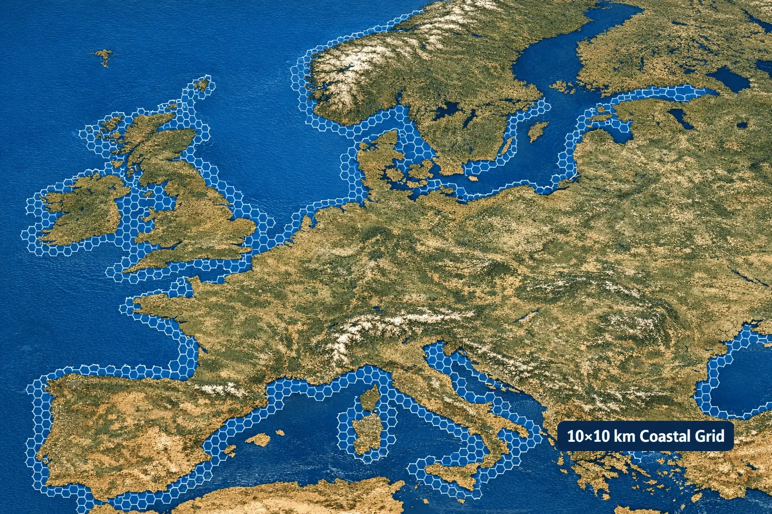
1. Location selection
Use the search field or drag the map to place your pin at the desired location. Global coastal zones are divided into a 10km² grid. Please ensure the selected location is close to the coast and that the map is sufficiently zoomed in for accurate placement.

2. Data processing
Based on the pinned location, we combine trusted global ecosystem
datasets with regional monitoring data and peer‑reviewed scientific studies. This creates a robust baseline, enhanced with locally observed information as input for the report.
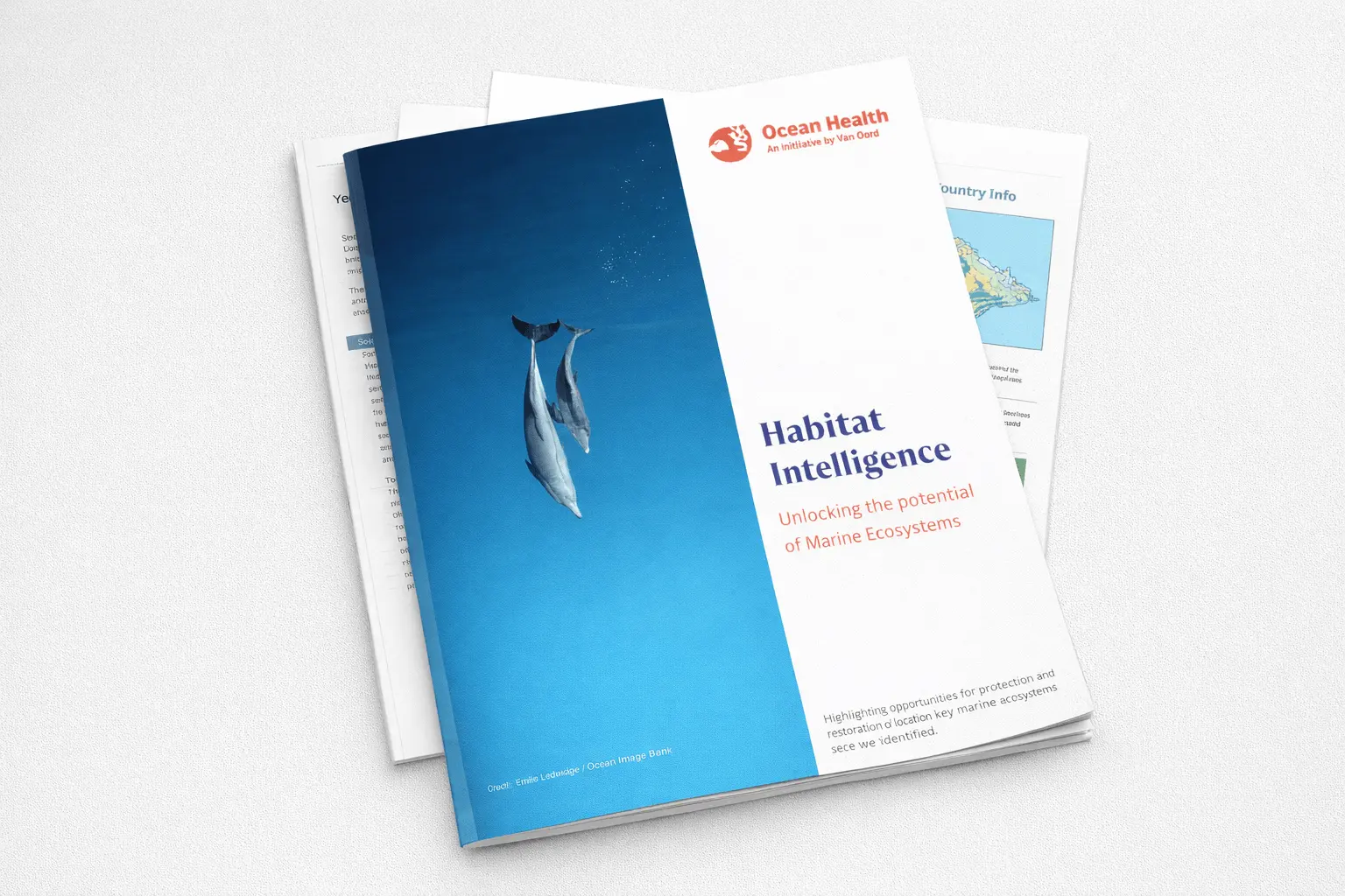
3. Report generation
The report combines national context with a focused assessment of your selected location, including only locally present habitats and highlighting opportunities for protection or restoration. If no habitats are identified in the open‑source data, this will be clearly indicated.